
Corpus Christi Neighbors by Block Source
The block around an address is best read as several different records, each with a narrow purpose. A map shows parcel geometry. An appraisal card can identify a tax owner and mailing address. A deed can show a recorded transfer, while a permit can date work at the address. None of those results proves a complete household. For Corpus Christi neighbors, record the source, date, and relation to the parcel before drawing any conclusion about the people nearby.
| Source | What It Shows About a Block | Access |
|---|---|---|
| City GIS and parcel dashboard | Parcel geometry, nearby parcels, map layers, zoning and district context | Public interactive map; live controls need verification |
| Nueces CAD | Tax owner, situs, mailing address, and legal identifiers | Public search; owner is not occupant |
| County deed and plat index | Transfer chain plus lot, block, or subdivision clues | Online, counter, and historic-index routes |
| City Dynamic Portal | Permits, inspections, and address-linked work history | Anonymous address lookup; account for filings |
| My Voter Portal | Known-person voter or VUID match | No unrestricted street browse; suppression rules apply |
| SOS voter file | Authorized county, precinct, or election analysis | Paid notarized request with affidavit and use restrictions |
| CCPL directories | Historical address-to-subscriber or household clues | Local History collection; scattered years |
| CCPD NOW and National Night Out | Community-program contact route | Participation program, not a public member list |
| City plans and historic maps | Neighborhood names and planning context | Public plans, not association rosters |
A tax owner can receive notices at another address. A historic directory may name one subscriber or head of household for a particular year. A permit can identify an applicant or contractor, not a current resident. The distinction matters because nearby recorded facts are not the same as a complete account of your Corpus Christi neighbors.
Corpus Christi Neighbors on GIS
The Corpus Christi parcel and zoning dashboard is the geography layer for a block search. City GIS materials describe layers for boundaries, utilities, gas services, public safety, parks, transportation, public services, and imagery. Start by zooming until parcel lines and labels are visible. A clicked parcel may supply a route to an account or other identifying information, but the inspected text did not document every identify-popup field, adjacent selection, buffer, measure, download, or print control.
The parcel and zoning dashboard is the map view used to establish the block before consulting owner records.
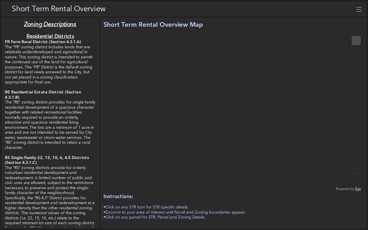
The map should remain a geography source. If the viewer does not expose a verified owner field, use the parcel or Geographic ID in Nueces CAD rather than assuming that a map label identifies a resident.
Corpus Christi Neighbor Plan Areas
Place names give useful context but not a membership list. The city’s historic-preservation material names Downtown and Central City, Del Mar, Uptown, Ocean Drive, Morningside and Bellavida, Northside, Hillcrest, Washington Coles, Saxet Heights, Oak Park, Lamar Park, Bessar Park, Six Points, Westside, and Furman Avenue. Planning inventories also refer to North Beach, Padre and Mustang Island, Northwest Boulevard, and TIRZ #3. Use a name to find the relevant plan, then verify the individual parcel in GIS.
A parcel may sit in a plan area, have a different postal name, and have no voluntary association at all. The city’s planning and GIS page is the official route for maps and plans. It does not establish current association boundaries or identify everyone on a block.
Map Corpus Christi Neighbor Parcels
Begin with one exact address and preserve the target parcel’s situs, account or Property ID, Geographic ID, and legal-description clue. Then identify the parcels immediately north, south, east, and west, plus any parcel across an alley or street. A corner parcel can touch more than four lots. A road, rail corridor, or water strip may also be its own polygon, so consecutive account numbers do not prove that parcels touch.
- Save the map URL and the date, then locate the target in GIS or CAD.
- Record the target Geographic ID or account identifier and its situs address.
- Click each surrounding parcel and note its identifier, legal-description clue, and the direction from the target.
- Search each identifier in Nueces CAD one at a time, keeping tax owner, mailing address, and situs in separate columns.
- If a parcel edge is unclear, compare the plat, aerial imagery, and lot or block description before calling it adjacent.
- For a full named-street chain rather than the immediate block, use the Corpus Christi street directory.
The process flow is address to map parcel, map parcel to CAD record, then CAD record to a deed or plat only when the ownership question requires it. A homestead exemption may be consistent with an owner-occupied exemption claim, but it is not proof of every person who lives at the address. Treat the County Clerk’s deed index as a transfer record, not a list of neighbors.
Corpus Christi Neighbor Voter Limits
Texas My Voter Portal is designed to match a known person, not to browse a block. Its inspected inputs are first name, last name, county, date of birth, ZIP, and VUID. A match can display voter information and a VUID subject to the state’s disclosure rules. It cannot establish all residents at a street number, and a missing match cannot establish that no one lives there.
Block-wide voter analysis is a different process. Texas’s public voter-file request uses county, precinct, election, and other allowed filters, requires a notarized affidavit and deposit, and carries data-use restrictions. Protected-voter suppression and ACP protections apply. Public election participation may identify an election and method, but it does not reveal a ballot choice.
The My Voter Portal screen shows the known-person matching form rather than a street roster.
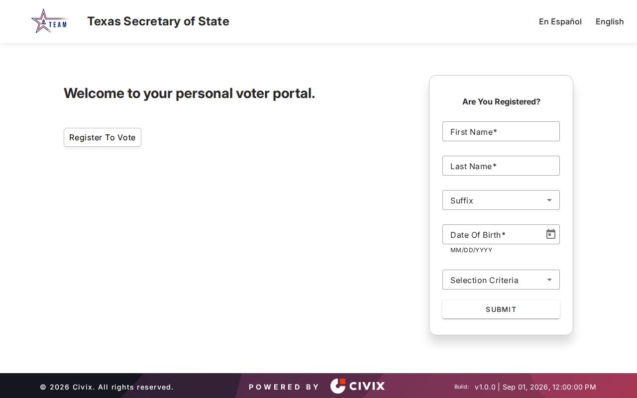
Use a voter result only for the purpose and fields the authorized source supplies. The address and protection rules are reasons to stop at a suppression marker, not to search around it.
Corpus Christi Neighbor Association Status
No authoritative city-maintained, current association roster with membership or contact directories was located in the research. That absence matters. A historic district, a planning area, a public notice, or a voluntary civic group should not be presented as an HOA membership list. The available local routes below provide community context or a legitimate program contact, not a directory of households.
CCPD Neighbors on Watch
NOW connects residents with a Crime Prevention Specialist. Crime Prevention is listed at 361-886-2765. The city does not publish member names.
National Night Out
Corpus Christi identifies this annual community program on the first Tuesday in October. Participation is not a public block roster.
City planning resources
Planning documents and neighborhood plans help identify an area’s public context, but they do not confirm an active association or household membership.
The City Electronic Bulletin Board can help confirm public notices, boards, commissions, and community entities. Individual associations, congregations, and civic groups should be used only when they voluntarily publish a contact route or roster.
Corpus Christi Neighbors: Source Comparison
Official records are organized around a custodian’s job, such as assessing a parcel, recording a deed, or managing a permit. Commercial neighbor-lookup categories combine address, property, social, and brokered material from multiple places. The second category can be stale, can merge households, and may show more than a person expects. For a careful block question, use the source closest to the fact being checked.
| Official records | Commercial neighbor tools |
|---|---|
| Traceable custodian, record type, and date | Mixed source dates and uncertain update cycle |
| Parcel owner, deed, permit, or limited voter fact | Compiled address and household claims that need verification |
| Specific correction or request path through the holder | Category-specific removal and correction practices |
| Still incomplete for occupants and protected records | May be incomplete, stale, or wrongly merged |
A commercial display is not a substitute for a property record, city permit, or authorized voter response. When the records disagree, preserve the conflict and ask the office that holds the original record about its correction or copy process.
Corpus Christi Neighbors in History
For an earlier block, the Local History Department at La Retama Central Library supplies city directories, telephone books, yearbooks, photographs, family files, and Caller-Times microfilm. A reverse or criss-cross directory can tie a street number to a subscriber or household clue for one year. It is a time-specific snapshot, not proof of every person who lived there. The library also has historical city and county material, and staff can help identify the right directory year or microfilm reel.
The historical source is most useful when paired with the parcel record. Start with today’s street number and legal description, find the closest directory year, and then compare it with the nearest deed transfer or census release. Corpus Christi directories are scattered rather than annual, so a missing name can reflect a gap in the run, an unlisted telephone, or a changed address format. The current parcel and the historical household should never be treated as the same thing without matching the date and tract clues.
The city’s Local History Department is a research-room route, not a free online roster. Fragile materials do not circulate, and copying is handled case by case. That access limit is part of the record trail, especially when a block’s only historical clue is on the shelf.
Corpus Christi Neighbor Record Requests
When a search screen does not contain the needed address record, ask the custodian for the record that actually exists. City requests can seek a permit, code case, police incident, or other defined record. County Clerk routes cover recorded instruments and plats. The request should give the exact street address or parcel identifier, a date window, record type, and preferred format. That is clearer and more likely to reach a responsive file than asking an office to identify everyone around an address.
The Corpus Christi General Request Form has a 350-character description field and From and To dates. It also asks the requester to select an expedited-release choice. A focused request may still have fees, redactions, or a need for clarification. The Texas Public Information Act is a route to existing government information, not a requirement that a custodian build a new neighborhood list.
Keep a copy of the request and the response date. If a record belongs to a different custodian, send the next request to that office rather than treating a city response as a substitute for a county deed or state voter record.
Corpus Christi Neighbor Privacy Limits
Some block information is intentionally not public. Renters and other household members may not appear in an owner, voter, or directory source. Utility subscribers, delivery data, DMV address data, sealed court records, and confidential juvenile or victim information are not a public block-search fallback. A deed, appraisal card, or permit can be relevant to a parcel and still say nothing reliable about who occupies it today.
The Texas Address Confidentiality Program protects qualifying survivors with a substitute address, and Texas voter records have their own website-suppression and restricted-public-access paths. A protected voter result may display asterisks. The correct response is to respect the restriction and use the lawful custodian process, never to piece together a suppressed location from other sources.
Lawful use. Corpus Christi neighbor records can support civic curiosity, reconnecting, or property research. Do not use address information to watch, harass, threaten, or intimidate any person.
When an address-linked record is missing, request the existing permit, code case, plat, deed, or case log from its custodian with a specific address or parcel identifier and date range. The City General Request Form requires a focused description and From and To dates; it cannot require the city to create a list of everyone near an address.